Among the most reliable places to find fish, fishing drop offs stands out because these edges give fish quick access to food, shelter and comfortable depths. A drop-off is anywhere the bottom falls away faster than around it, from a gentle slope to a sheer ledge. Sonar makes them easy to find and easy to read, but fishing them well takes a little technique: knowing where on the edge fish sit, how to position the boat, which lures to use and how to mark the edge so that you can repeat it. This guide explains how to spot drop-offs on a screen and a chart, how the different types behave and how to work them in every season.

Fishing drop offs: what an edge is and why fish use it
A drop-off is a change in depth, whether a slow slope or an abrupt step.
Cover, food and comfort
Edges collect baitfish and give predators ambush points. Fish can move up to feed and down to rest, using the edge as a highway without travelling far.
Types of drop-offs
Gentle slopes, steep banks, ledges and channel edges each behave differently. Steeper edges concentrate fish tightly, while gentler slopes spread them.
Where they appear
Drop-offs form along shorelines, points, humps, creek channels and old riverbeds. A good chart shows many of them before you touch the water. See our guide on how to read nautical charts.
Finding drop-offs on a chart
Charts show depth contours, and tight contour lines mean a steep edge.
Look for tightly packed lines
Where lines bunch together, depth changes rapidly. These are prime places to check.
Look for turns and points
Corners, points and bends along a contour concentrate fish. Mark them for a closer look.
Use GPS to follow the edge
A track along a contour makes it easy to hold depth. Our contour trolling GPS guide shows how.
Finding drop-offs on sonar
Once you are over a likely area, sonar shows what the chart suggests.
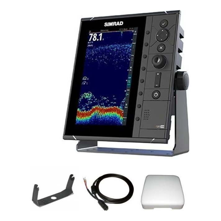
Watch the bottom line
A sudden dip in the bottom line shows a drop-off. A steeper line means a steeper edge.
Read the marks
Fish and bait along the edge show as marks and clouds. Look for them at the top, middle or foot of the drop. Our guide to reading baitfish on a fish finder can help.
Use imaging
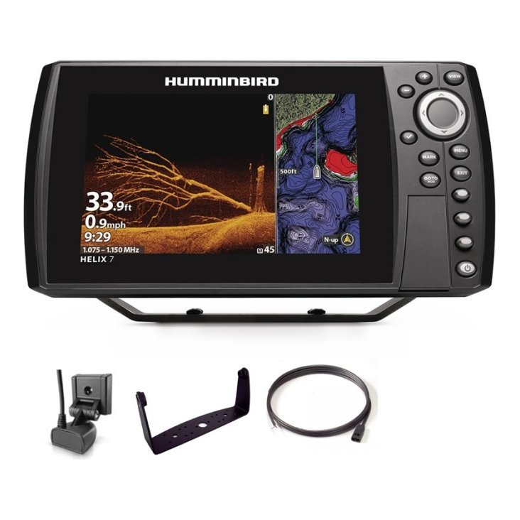
Side imaging shows the edge from a distance and down imaging shows structure on it. Read our side imaging vs down imaging guide.
Positioning the boat
Boat position decides how well you present a lure.
Stay off the edge
Fish on a drop-off can be spooked by a boat directly above. Position on the shallow or deep side and cast across the edge.
Use GPS and waypoints
Mark the top, middle and bottom of the edge and use your track to hold position. See our marine GPS waypoints guide.
Control drift
Wind and current move the boat, so use a trolling motor or anchor as needed.
Presenting lures along the edge
Match your presentation to the depth and the fish.
Casting from the shallows
Cast to the shallow lip and work the lure down the face.
Vertical presentations
Drop jigs and spoons down the edge. Our vertical jigging with sonar guide explains the technique.
Trolling along the contour
Troll lures along a chosen depth, following the edge with GPS and sonar.
Slow down
Edges often reward slow, deliberate presentations that keep a lure in the strike zone longer.
Seasonal patterns
Spring
Fish move up edges toward shallow spawning areas, so look at the first drops near them.
Summer
Fish use deeper edges, often near thermoclines. See our thermocline fish finder guide.
Autumn
Fish follow bait along edges and creek channels.
Winter
Fish hold on deeper edges and slow down. See our winter fishing with sonar guide.
Tips for success
- Fish both the top and the bottom of the edge.
- Revisit edges at different times of day.
- Pay attention to bait and wind direction.
- Note the species, depth and lure that worked.
- Keep your transducer clean and well mounted.
Reading a drop-off step by step
Imagine you are running a line along a creek channel. At first the bottom reads about the same depth, and then the line dips sharply to a new, deeper level. Slow down and look at the screen for marks along the edge. If you see bait or fish, mark a waypoint immediately. Turn the boat and make a second pass in the opposite direction, keeping the boat a little off the edge so you do not drive directly over the fish. Check the depth at the top, the middle and the bottom of the drop. Now you have three useful numbers that tell you where to present your lure.
Combine the chart and the screen
The chart shows where the edge runs, and sonar shows what is on it. Use the chart to plan a route along several edges, and use sonar to find which ones hold fish today. Save each good edge as a waypoint so that you can build a loop of reliable spots.
Think about wind and current
Wind and current push bait along an edge, and predators follow. A windy bank with a drop-off often outperforms a calm one. Position the boat so you can cast into the wind or current, and your lure travels naturally along the edge.

Safety and boat handling near edges
Drop-offs often sit near shallow humps, rocks and stumps, so take care when you run them. Keep a depth alarm set, approach shallow shelves slowly and avoid running at speed over areas you have not scouted. In wind, position the boat so that waves do not push you toward shallow water, and keep your lower unit clear of hazards. If you fish at dawn or dusk, use navigation lights and a spotlight. A careful approach protects your boat and your passengers and keeps you fishing the edge without surprises. See our boat navigation safety basics for a broader checklist.
Building a drop-off map of your lake
Over a season, your waypoints and tracks can form a map of every good edge on your water. After each trip, rename waypoints with depth and notes, such as top, face and base, and delete weak ones. Group them by area, and note the wind, season and species that worked. In winter, review the map and plan your spring routes. Anglers who keep this record find that they spend less time searching and more time fishing, because the best edges are already marked and ranked by experience rather than memory.
Frequently asked questions
How steep should a drop-off be?
Any noticeable change in depth can hold fish, so test several types.
Where on the drop-off are the fish?
They can be at the top, on the face or at the base depending on conditions.
Can I fish drop-offs from shore?
Yes, if you can cast to them. A handheld depth reading or chart helps you find them.
Do I need imaging sonar?
No. 2D sonar is enough, though imaging adds a clear picture of structure.
Make the edge work for you
Fishing drop offs rewards careful reading of your chart and screen, quiet boat control and presentations that match the depth. Mark every good edge and repeat what works. Browse fish finders and GPS in our shop and contact us if you need help choosing the right unit.
Related reading from Fishtrail Outfitters
- Summer Bass Fishing With Sonar: Find Fish in the Heat
- Side Imaging vs Down Imaging: Which Sonar View Do You Need?
- How to Find Fish With a Fish Finder: A Practical Step-by-Step Method
- Contour Trolling With GPS: Follow Depth Lines to Find Fish
Products mentioned in this guide
- Fishfinder Garmin Striker Vivid 4CV + Sonar 77/200/455/800 KHz
- Fishfinder Garmin Striker Vivid 5CV + Sonar 77/200/455/800 KHz
- Fishfinder Garmin Striker Vivid 7CV + Sonar 77/200/455/800 KHz
Further reading: Take Me Fishing: how to get started and where to fish
Questions before you buy? Contact Fishtrail Outfitters or browse the shop.